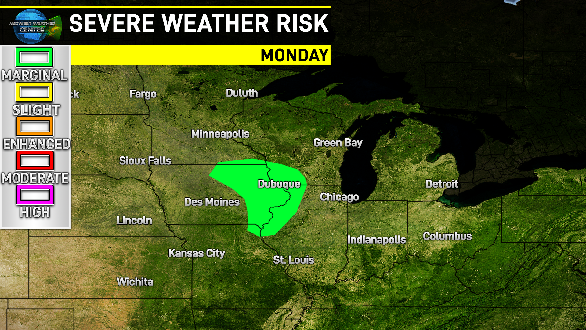
The Storm Prediction Center issued a very rare severe risk area in the Upper Midwest for Monday January 16. The main hazards will be large hail as well as the potential for a few tornadoes.
There are a lot of things that need to go “wrong” for this severe risk to unfold, but there is increasing confidence the instability and moisture will coincide with robust wind shear to allow a few severe thunderstorms to develop.
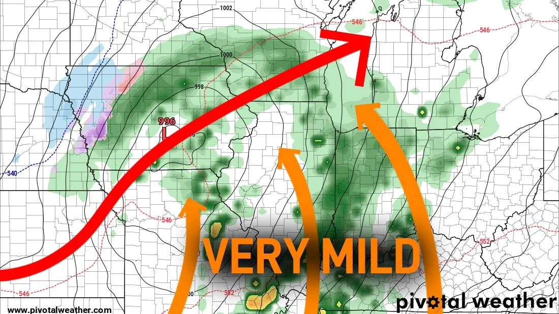
One key ingredient is the push of very anomalous dewpoint values across the Middle Mississippi River Valley in excess of 50°. Latest high-resolution models are showing just that shaping up, with the trend towards higher dewpoint values in other models as well.
This along with temperatures pushing near 60° will provide rather significant instability given the time of year with very cold temperatures higher up in the atmosphere.
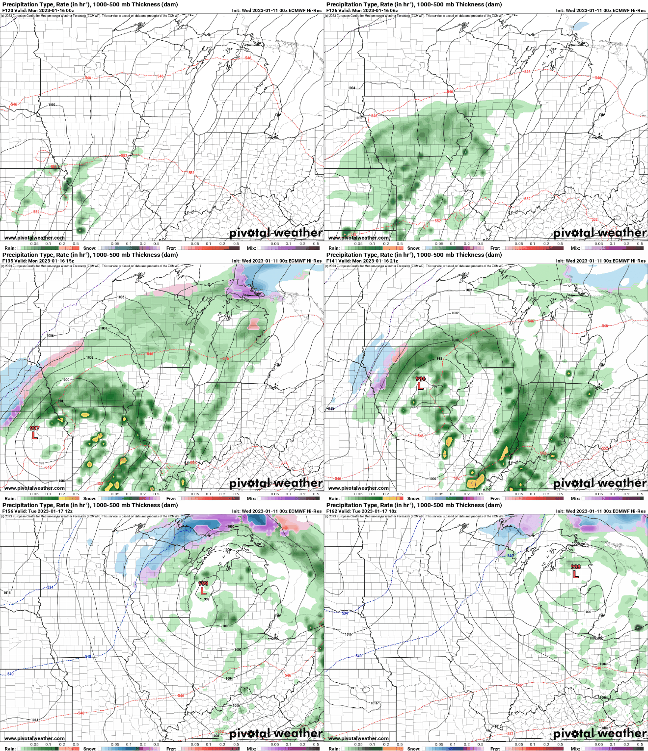
The other key ingredient is sunshine to allow rapid surface heating. Latest models are showing a punch of dry air by late morning into the early afternoon across northern Missouri into Iowa. This surface hating, with dewpoint values in the 50s, is the recipe for thunderstorm development in Iowa.
High-resolution models show thunderstorm development in central and eastern Iowa taking advantage of an environment supportive of supercells.
The potential for severe weather really will not be well known until Monday morning as the clearing and moisture are not of high-confidence at the moment. This is a forecast that will need to be watched closely and further upgrades to severe weather risk areas are possible.
