Coming off an incredibly active 2024 tornado season, 2025 is looking rather different in terms of location of the most significant severe weather based on historical reference. Note, this is just an outlook and an entire season forecast. Individual events can be high-end and outside of the main areas I am discussing in this blog. That is the difference between weather and climate. For the latest, daily severe weather information, check out the Storm Prediction Center.
Usually the largest driver of severe weather trends is the ENSO cycle, the El Nino and La Nina discussion. Current observations remain in La Nina at region 3.4, however trends by mid/late Spring 2025 will be closer to neural conditions. This transitional effect, similar to last spring’s transition from neutral to El Nino, tends to favor more volatility.
Using ENSO as a backdrop, here is what I am looking at for reference analog years: 1989, 1996, 2006, 2009, 2018.
These years all start spring in La Nina and end closer to neutral conditions.
Additionally, we are looking at a negative PNA, Pacific North American Pattern. These two points are the basis for my analogs.
Additionally, PDO will be negative this year like 1989, 2009 and 2018. I like closely looking at the overlap of -PDO and -PNA as they constructively interfere with each other.
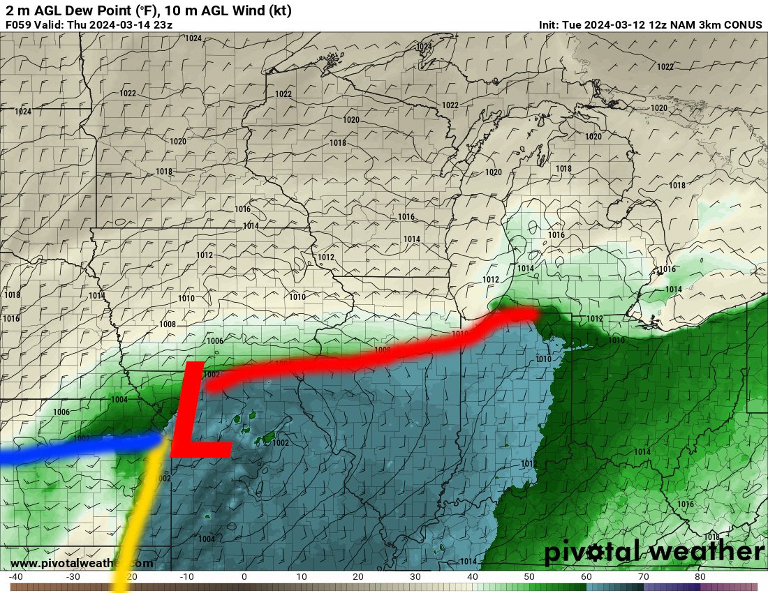
One final point looking at is the Great Lakes ice coverage, especially Lakes Michigan, Huron and Erie. This higher ice content will help keep the waters colder, thus keeping warm fronts more in check when stiff northeasterly winds kick off the Great Lakes. This is an instance why we keep the NAM around for the handling of shallower cold air.
Looking at analog years with both a -PDO and -PNA, you can really see the potential favored storm track across the Ohio River Valley. This favors more active weather across Arkansas through Ohio. When you time it with springtime warmth and moisture, this could be the groundwork for severe weather episodes.
The official forecast from the Climate Prediction Center released Feb. 20 shows above-normal precipitation in the same, aforementioned regions. The other big note with their official forecast is the rather dryness across the Four Corners region, High Plains and the Central and Southern Plains. This could have lasting impacts to the severe season over this region which saw a hyper-active 2024.
A quick note on the Great Lakes ice coverage - four of the five analog years were above to well-above normal in terms of the winter season maximum ice cover. This winter we will likely surpass normal in the next two weeks with colder weather still in place across the Upper Midwest and Northeast.
This will likely continue to remain on the colder side of normal into early March based on model trends. The colder this area remains deeper into March the more of an impact it will have on warm fronts across Ohio to Illinois in April and May.
The analogs for 1989, 1996, 2006, 2009 and 2018 show drier conditions across the central US with anomalously high 500mb heights. This shows the effect of the ridging taking over keeping the weather less active.
In terms of temperatures March through May, we are also looking at above-normal temperatures for the Four-Corners region and the Southern Plains. The cooler-than-normal temperatures across the Upper Midwest, Great Lakes and Northeast is also a bit different than the CPC forecast, which is worth noting.
Stronger southerly surface winds will likely lead to better moisture transport off a warmer-than-normal Gulf. This is reflected in the CAPE anomalies using the analog years. A standout could be western Texas which initially looked drier than normal, but there might be a little more to discuss out from here.
The month of May alone stands out in Texas with stronger southerly 850mb flow which would enhance boundary-layer moisture content, and this seems to be reflected in the May CAPE anomalies.
This could, in theory, highlight May dryline setups in west Texas/Texas Panhandle region. Overall this is likely too narrow-scope for an analog approach to forecasting a season, but again I think it is rather interesting it stands out this clearly.
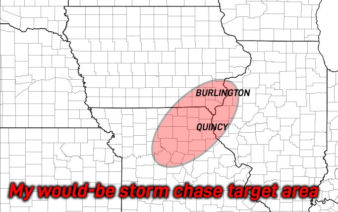
Taking all of the above into account, here is what the tornado analog for Spring 2025 is looking like. A standout right away is the higher-than-normal normalized tornado reports in Illinois, Indiana and Missouri. This is potentially, in part, due to the Great Lakes ice coverage and the -PDA/-PNA and La Nina pattern.
Another area that stands out for the opposite reason is Kansas, Oklahoma and Texas, areas that had a mostly impressive 2024. There are strong hints at more subdued activity which would not be shocking given the overall pattern forecast for the CONUS.


